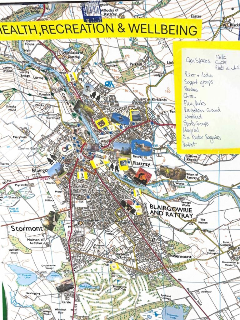
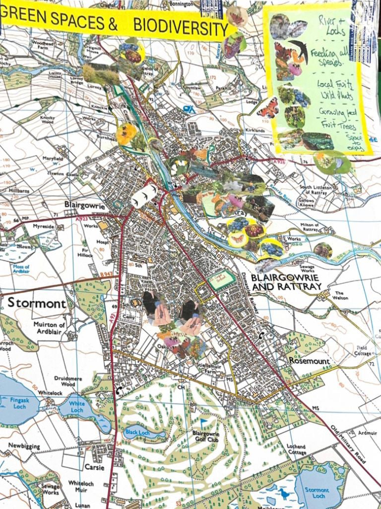
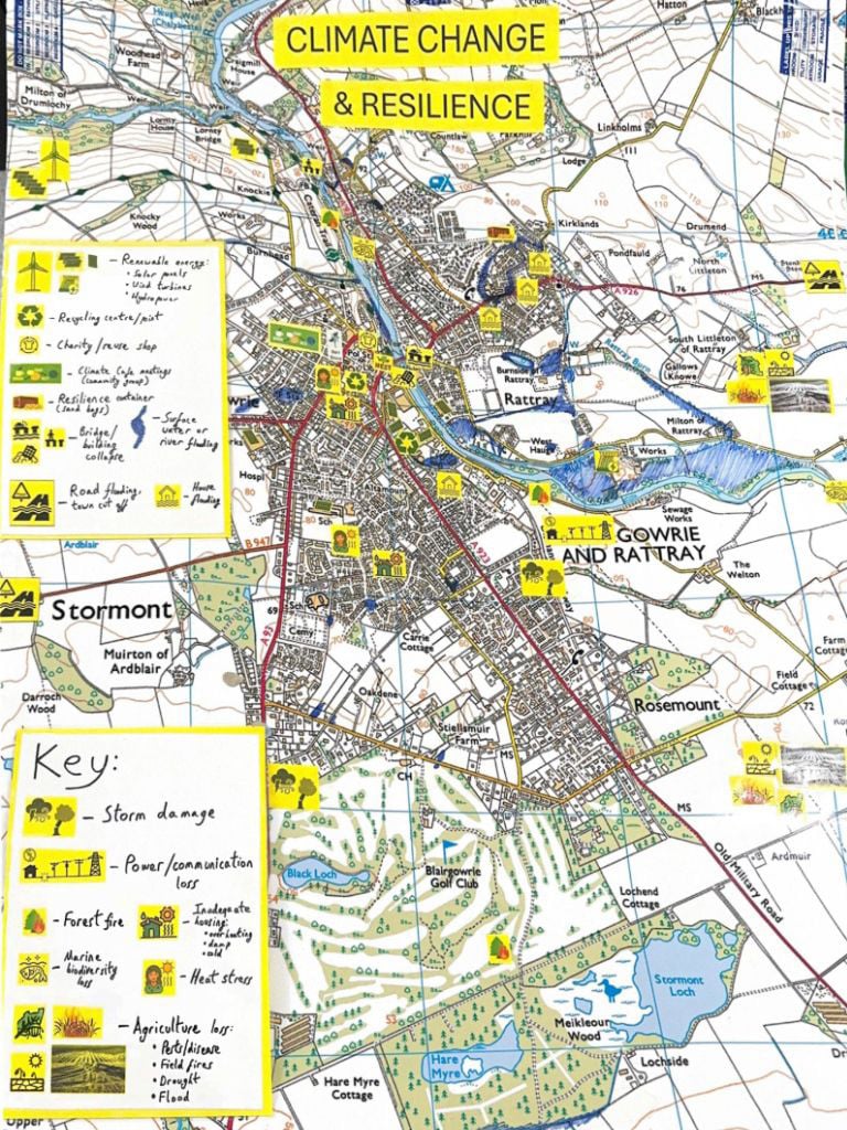
Local Place Plan Maps

Here are the maps we've created at the start of the process to encourage discussion and ideas.

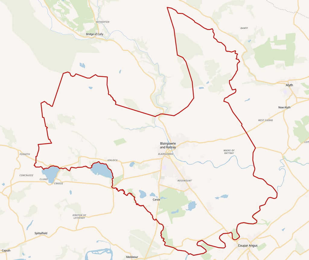
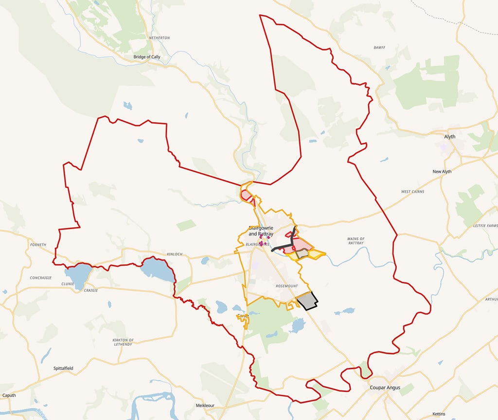
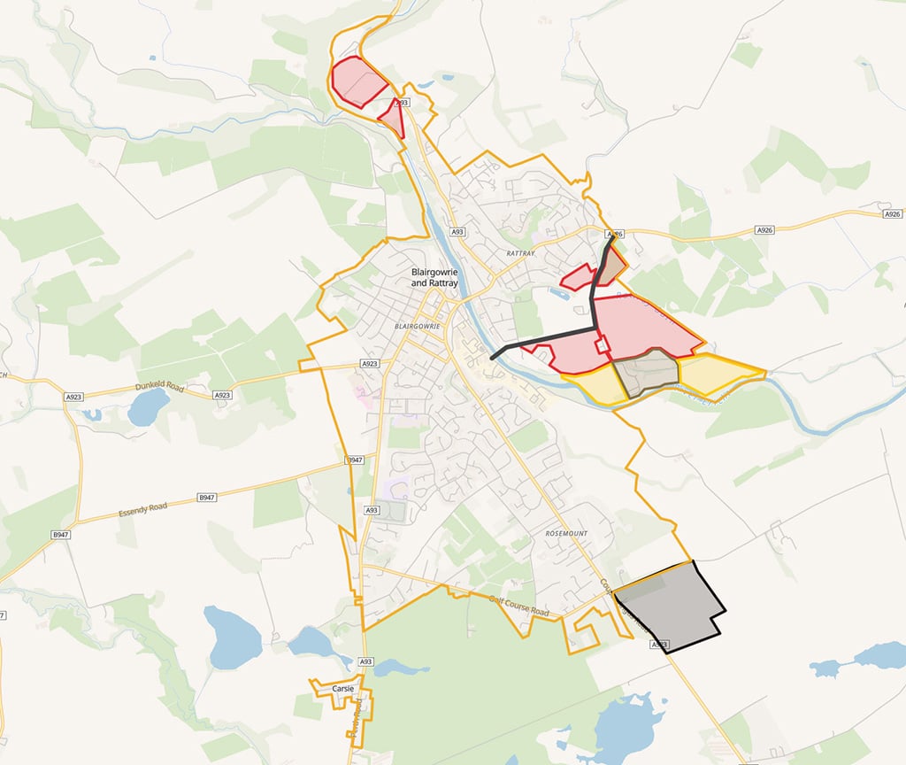
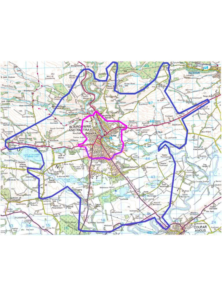
LPP - Wider Boundary

The wider boundary for our LPP - based on the Blairgowrie & Rattray Community Council boundary

LPP Boundary and LDP3 Suggestion

This map shows our LPP boiundary and the proposed LDP3

LDP3 Proposal

Our suggestion for Blairgowrie & Rattray's LDP3 boundary and ideas

LPP - 20 minute Cycle Boundary

Our 20 minute walking and cycling boundary

Housing & Infrastructure

This map shows the LDP 2 boundary and existing infrastructure

Transport & Accessibility

This map shows current transport provision

Economy & Tourism

Information on our Economy and Tourism

Health Recreation & Wellbeing

Details of our Health, Recreation and Wellbeing

Green Spaces & Biodiversity

Details of our Green, Blue and Biodiversity

Climate Change & Resilience

Information on our Climate Change & Resilience